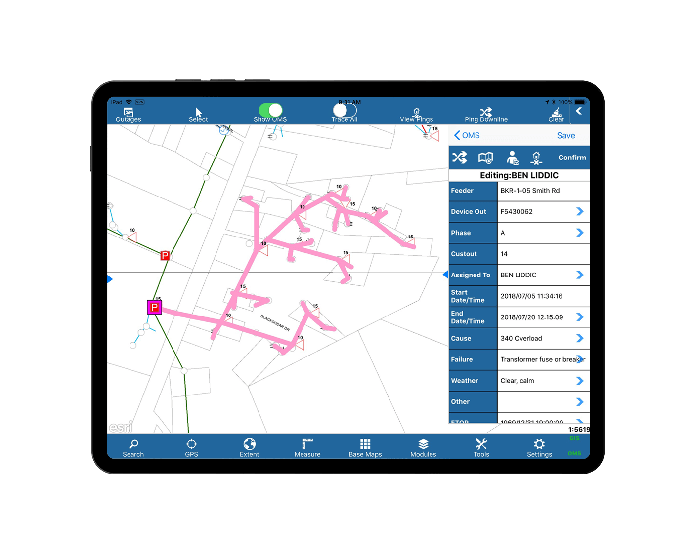
View information through FieldPro anywhere, no integration required.
“FieldPro’s core infrastructure easily allows for the simple transfer of one co-op’s data into an in-house mapping system. Then, we can upload that map to a specific location on anyone’s server and view it through the FieldPro software anywhere in the field, no integration required.”
Enabling on-the-go crews to work from any location.
Futura FieldPro for iOS enables mobile crew members to access data in a cached, offline environment from their iPad. Its intuitive interface boasts both configurable skins and user-friendly toolbars.
Includes quick search capabilities, measure tools, select and tap to identify features, zoom to GPS location with “follow-me” functionality, along with electric network tracing, map notes for red line changes, and more.
Call us today to talk about how FieldPro can support you and your team.
678 906 2575Key Features
Less to worry about.
More to work with.
Let's Chat
Sound like something you need? We'd love to show you more!
"FieldPro helped us streamline our backflow testing process and reduced financial losses through better communication across all our departments."
- First Utility District of Knox County | Tennessee’s Second Largest Water District
