
A Stronger
Bottom Line For Your Business
Increase efficiency, reduce data discrepancies & power productivity.
Trusted by the industry.
The better your GIS model is, the better your OMS model is.
“When you have a good mapping system, it explodes out into the other realms and other aspects of the company. The better your GIS model is, the better your OMS model is. The more accurate your data is in the map, the more accurate it is in your customer information system. That just makes for things to flow much easier.”
Mack Wainwright | GIS, Central Alabama Electric Cooperative
Suite of Applications
Powerful, User-Friendly Functionality
Real-time, configurable products that extend and broaden your utility’s reach far beyond the doors of your office.

GIS & Asset Management
Combining a powerful Esri ArcGIS-based mapping application with a comprehensive Asset Management System.
Key FeaturesStaking & Project Tracker
Giving designers, planners and engineers powerful & intuitive software that make designing new engineering projects easy and complete.
Key FeaturesOutage Management
Improving response time and reducing outage durations, while also helping to prevent outages through automated predictions, network tracing and switching.
Key FeaturesCatalyst
Delivering all key data sources in one intuitive, graphical display and empowering management with the critical information necessary to make excellent business decisions.
Key FeaturesFieldPro
Powering true mobility from an iOS device and enabling real time GIS, OMS and Inspection updates directly from the field.
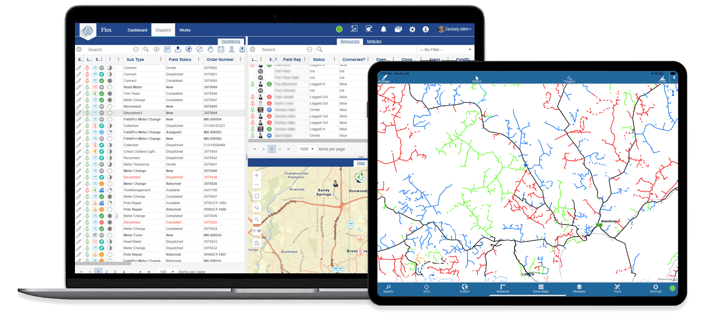
Key FeaturesFlex
Providing your dispatchers and field service personnel the solution they need to organize, dispatch and complete work items easily.
Key FeaturesSolid Support
We know support is what matters most.
Our program contains all the benefits and data-integrity standards you’d find in more expensive systems.
Futura products are designed to be cost-effective by integrating with your utility’s pre-existing web interface, regardless of your operational software vendor.